Uzbekistan · Samarkand Regional Administration · Master plan, urban design, 3D animation
Samarkand Karasu Zone Master Plan
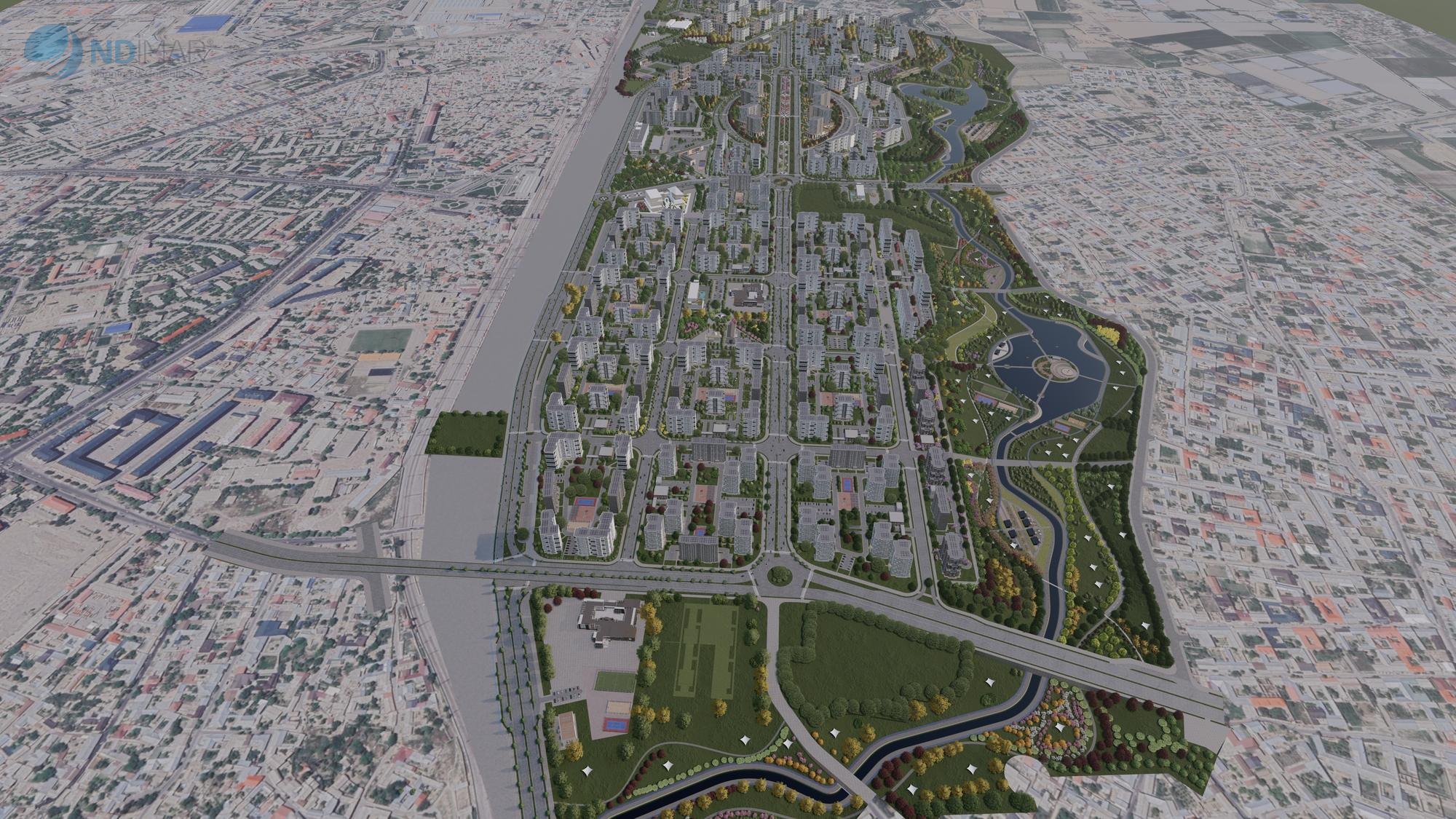
For the Samarkand Regional Administration we prepared a master plan, urban design and 3D animation for 8,249 hectares in the new Karasu zone outside the city. The concept is “creating the Samarkand of the future”: growth inspired by the city's history, combined with present and future values. Inputs included the 2022 Samarkand Summit declaration of the Organization of Turkic States and the Turkic World 2040 Vision.
Phases and population
| Phase | Area (ha) | Existing population | Added population | Total |
|---|---|---|---|---|
| 1. Shirin | 2.858 | 23.000 | 117.000 | 140.000 |
| 2. Karasu | 3.585 | 40.000 | 105.000 | 145.000 |
| 3. Railway (Zalinya) | 1.806 | 71.700 | 213.000 | 284.700 |
| Total | 8.249 | 134.700 | 435.000 | 569.700 |
Planning principles
The plan rests on seven criteria: sustainability, resilience, functionality, innovation, cost, aesthetics and identity. They take shape in four themes: world heritage, eco-city, smart city and energy. Its goals include smart-city systems and renewable energy, growth shaped by earthquake and disaster risk, protection of the historic and natural environment, social justice and a high value-added economy.
Rail transit
| System | Length (km) | Stops | Cost (USD m) |
|---|---|---|---|
| Light rail | 11,4 | 19 | 91,3 |
| Elevated rail | 4,1 | 7 | 82,0 |
| Monorail | 0,95 | 4 | 19,0 |
| Aerial cable line | 3,75 | 6 | 15,0 |
| Total | 20,2 | 33 | 207,3 |
Stops are 500–650 m apart; the network will carry about 70,000 passengers a day and link the zone with the railway station, airport, Registan and the city centre.
Infrastructure and energy
Energy
Solar power on warehouse, retail and logistics roofs; hydro power by the lake; a wind farm on the windiest hill; biogas.
Water
225 litres of urban water per person, 22% of it reused as grey water. Water is filtered from the Zarafshan.
Utility galleries
Power, water, gas and telecom lines run in technical galleries with ventilation, CCTV, fire and gas sensors and SCADA control.
Flood safety
The Zarafshan channel is sized for 2,125 m³/s, 3.1 times the 100-year flood flow of 680 m³/s.
Focus areas
| Area | ha | Programme |
|---|---|---|
| Expo, sport and university | 325 | Expo island 33 ha, university 23 ha, sport 32 ha, water 49 ha, green space 100 ha |
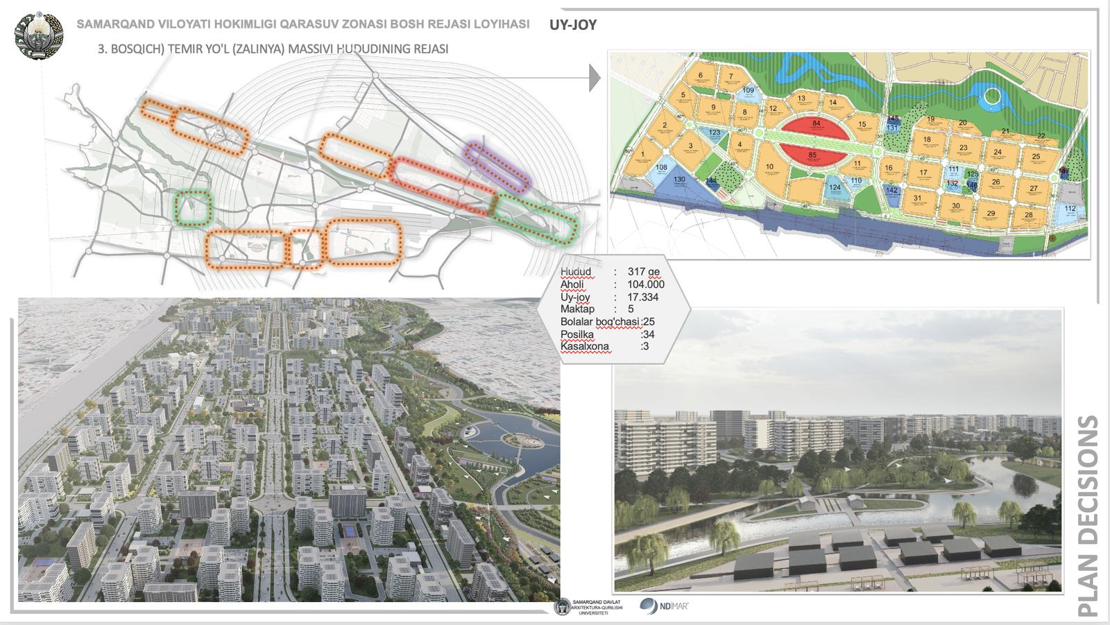
| Housing – railway zone | 317 | 45,594 residents, 7,598 homes, 7 schools, 12 kindergartens, 29 blocks |
| Housing area | 325 | 26,000 residents, 6,000 homes, 3 schools, 7 kindergartens, 2 hospitals |
| Light industry | 76 | 1,100 industrial plots |
| Zoo, safari park, riding centre | 50 | Zoo 17 ha, safari park 20 ha, riding centre 13 ha |
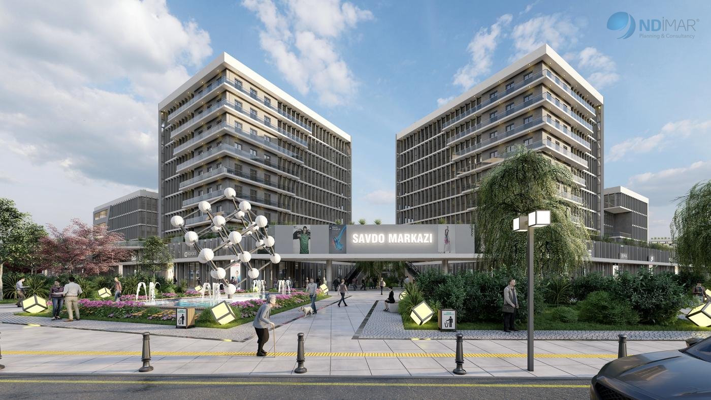
The neighbourhood unit is a 200 × 200 m block: 384 homes, about 1,536 residents, a floor area ratio of 1.20 and a maximum height of 48 m, with separate walking, cycling and road networks.
Plan sheets